














































































































































































































































































































































































































































































































































































Friday, 09 October 2026
Egypt is harnessing advanced satellite technology to monitor and control the spread of invasive water plants, such as water hyacinth, that threaten the country's vital waterways.
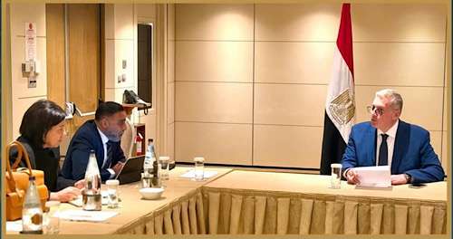
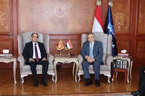
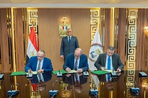
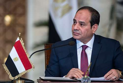
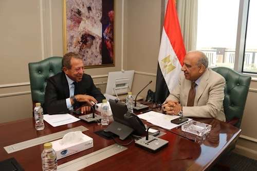
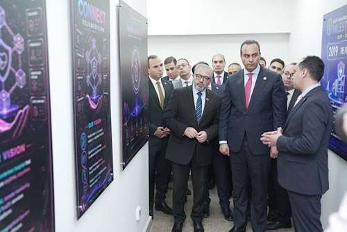
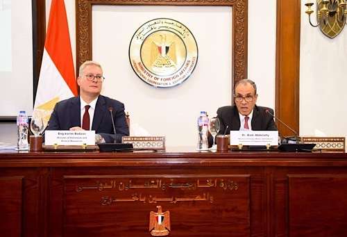
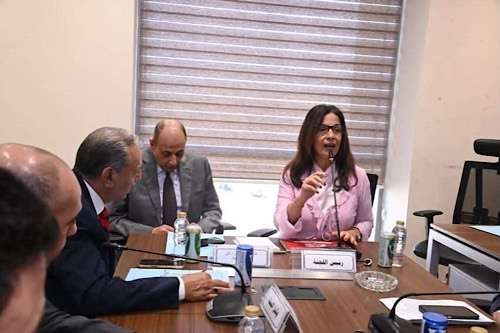
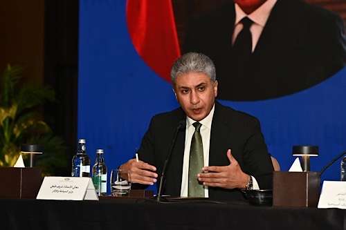
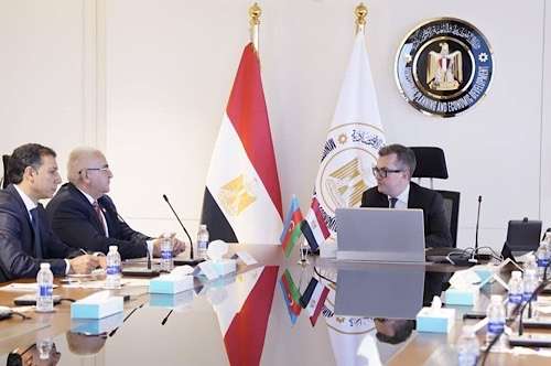
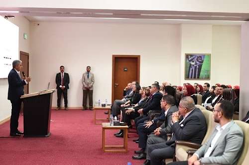
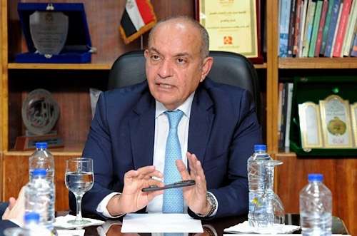
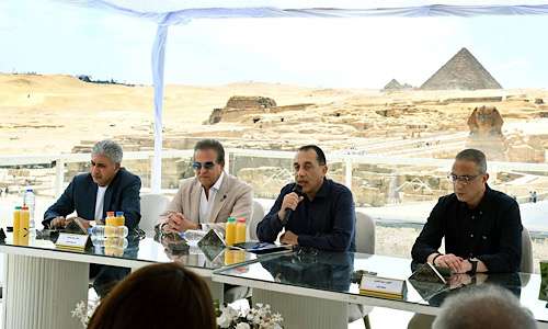
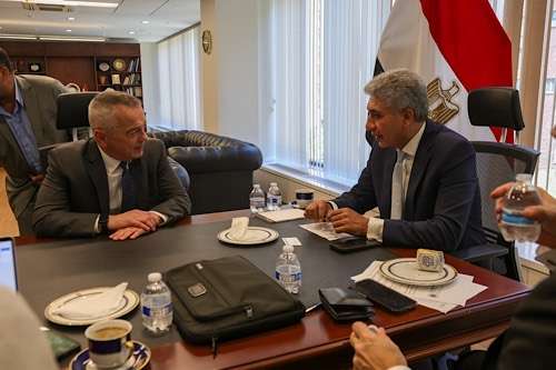
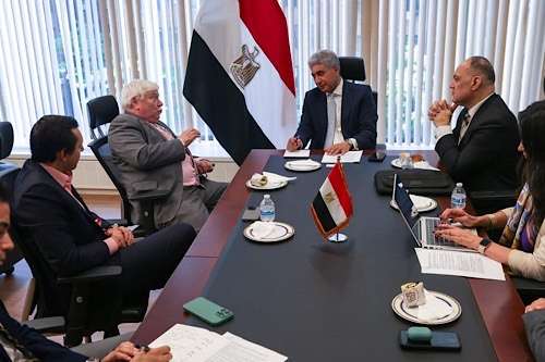
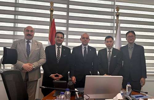
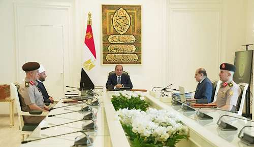
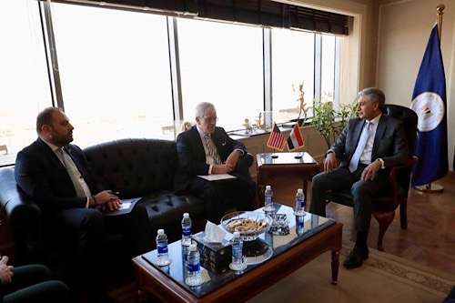
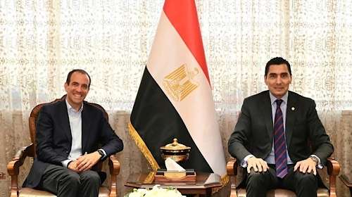
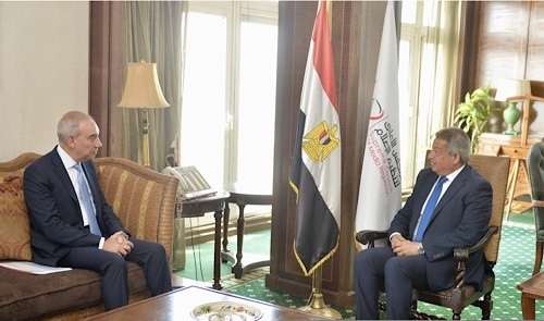
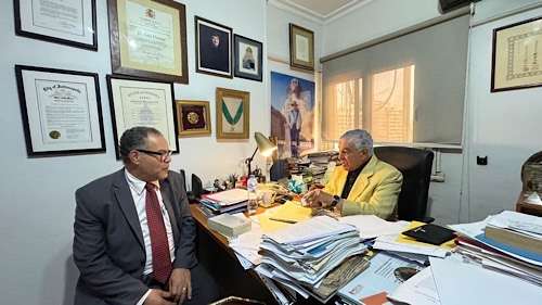
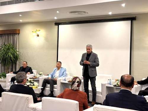
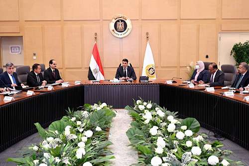
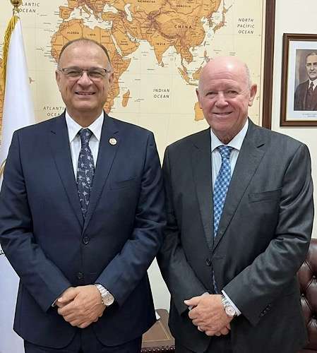
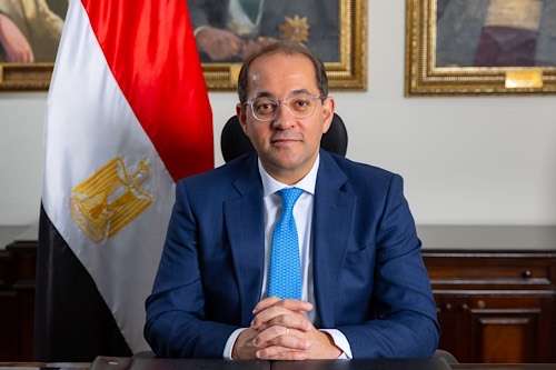
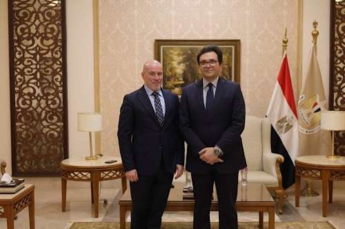
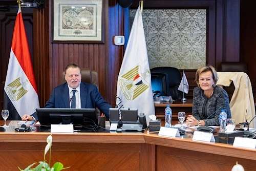
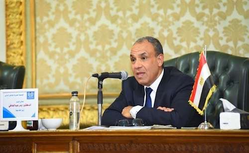
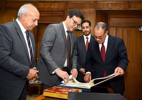
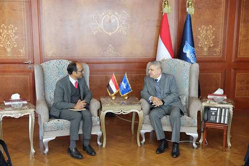
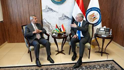
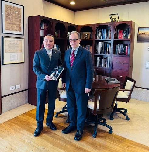
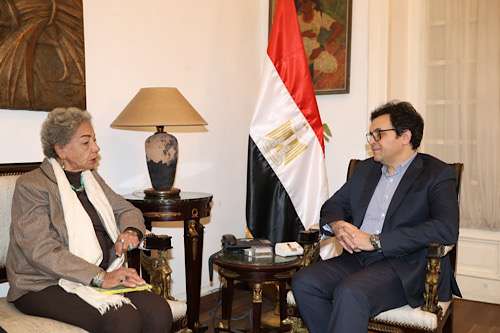
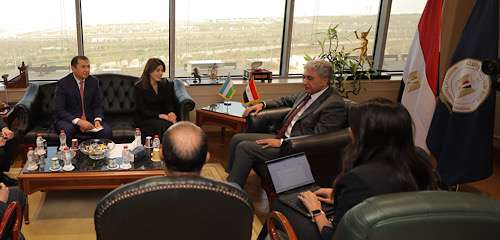
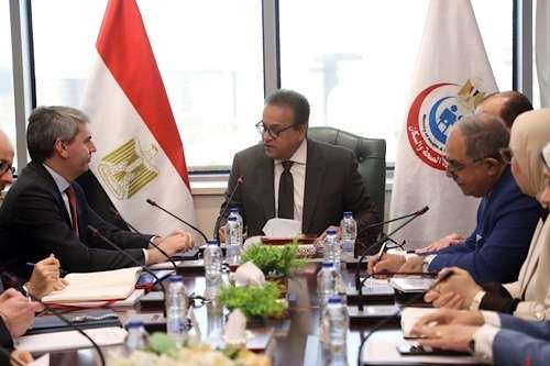
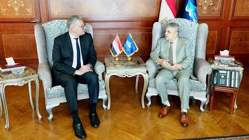
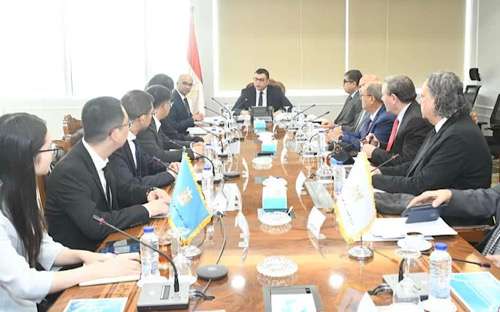
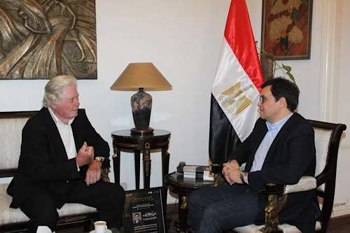
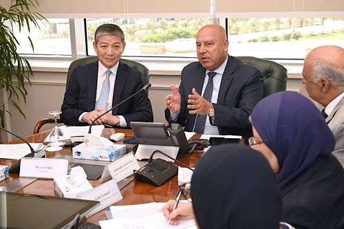
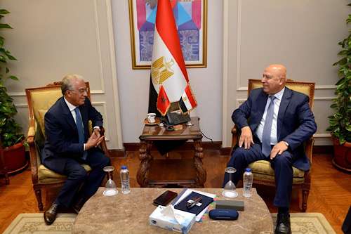
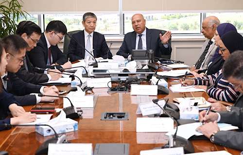
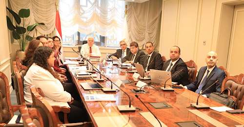
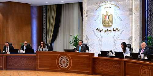
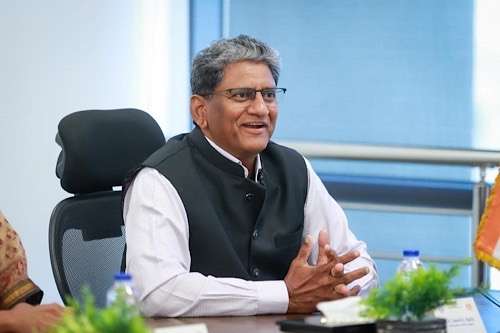
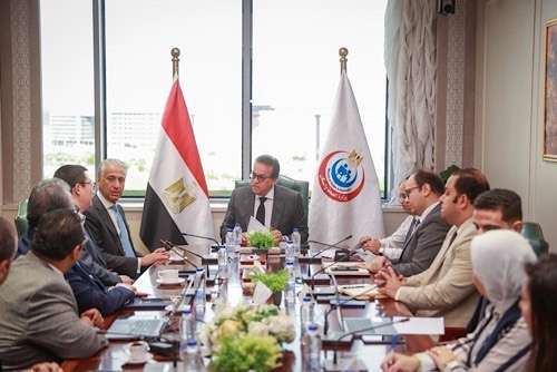
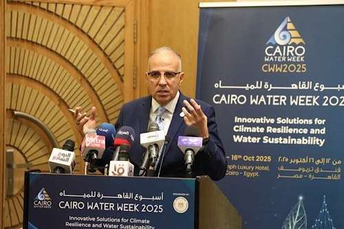
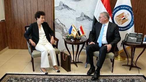
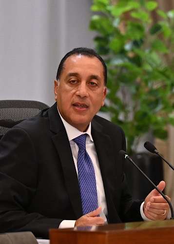
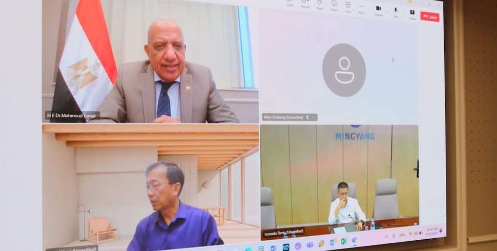
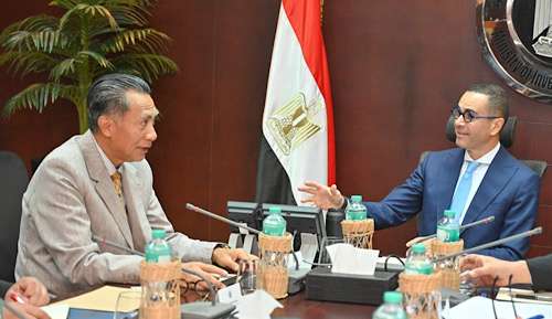
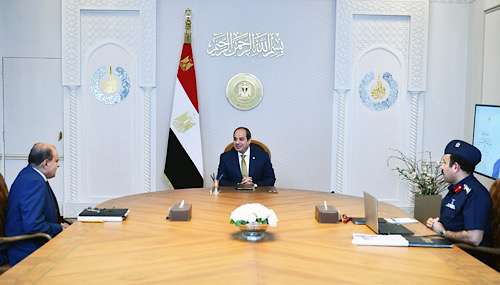
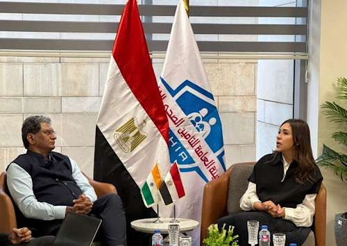
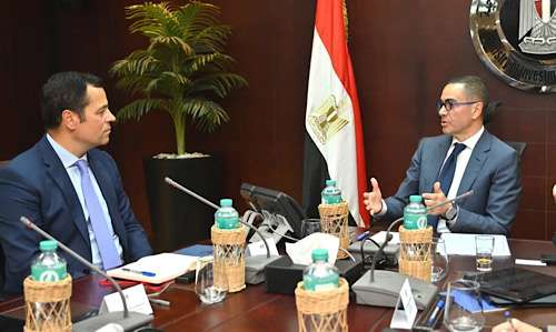
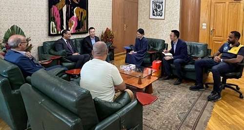
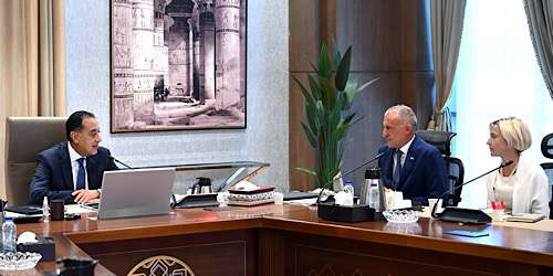
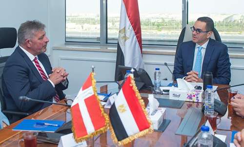
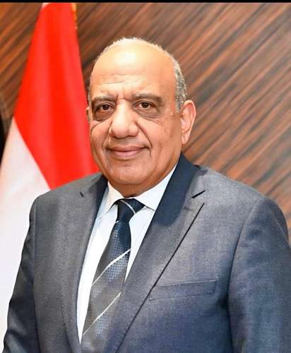
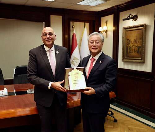
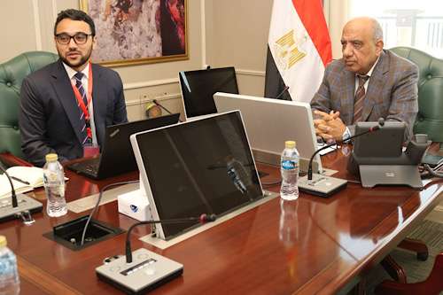
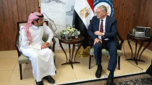
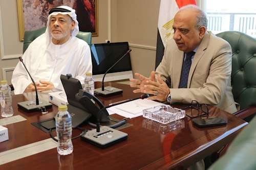
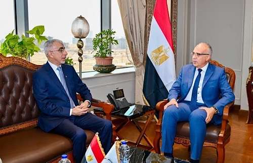
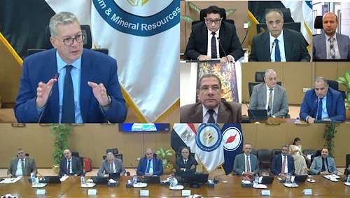
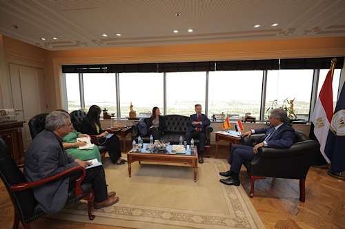
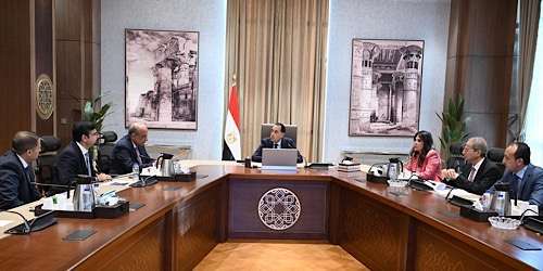
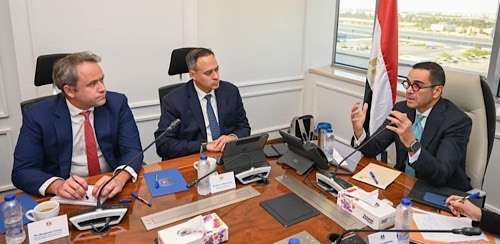
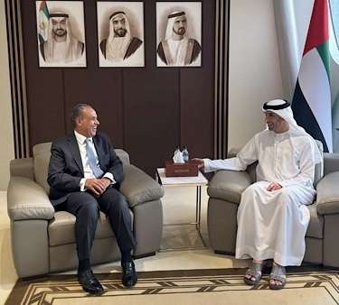
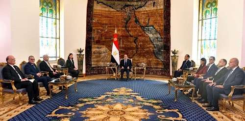
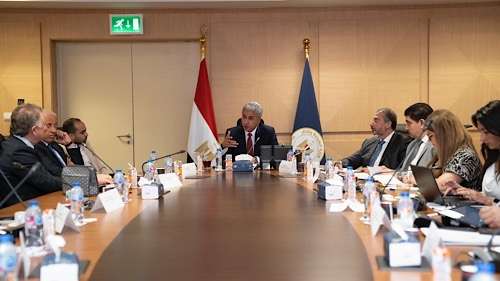
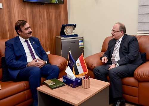
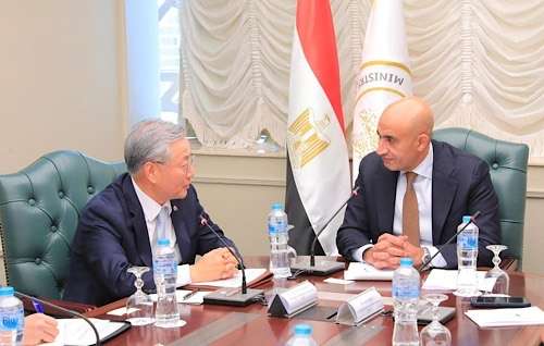
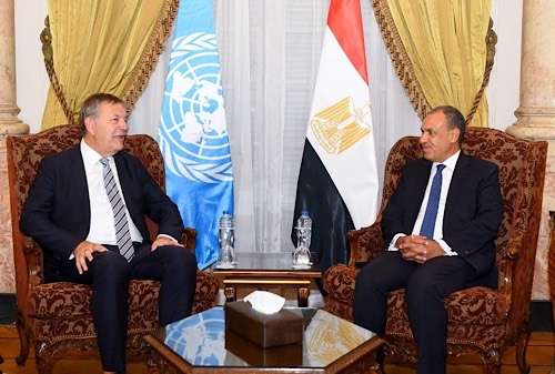
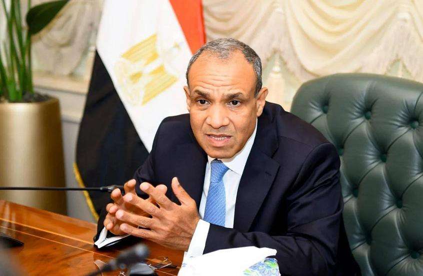
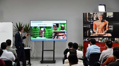
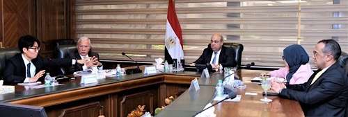
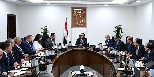
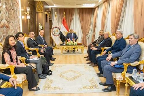
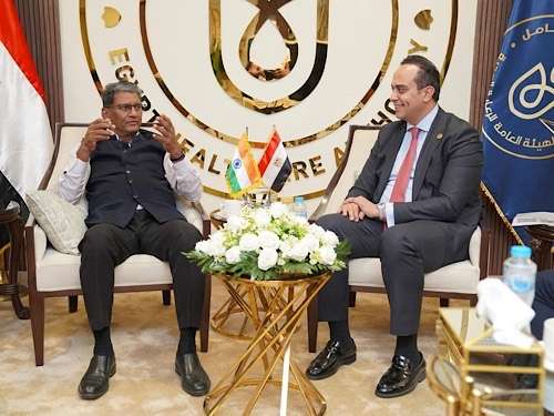
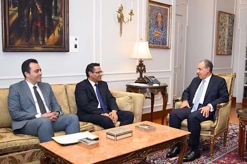
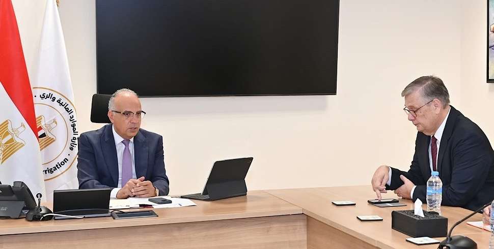
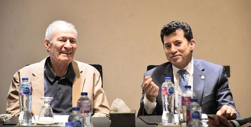
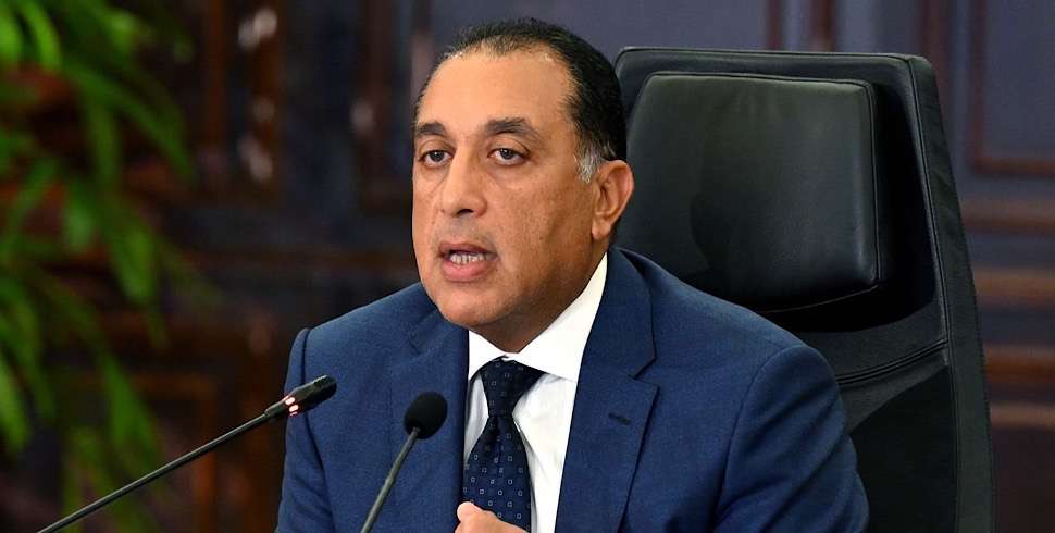
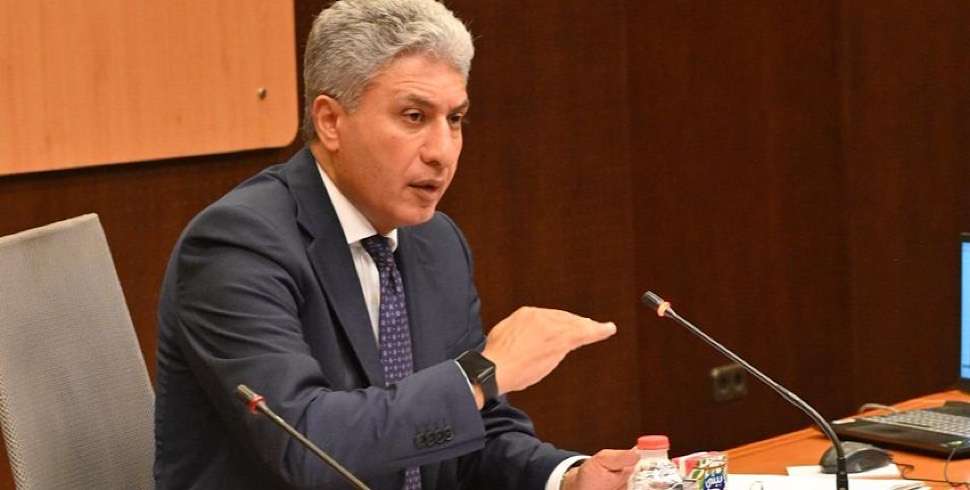
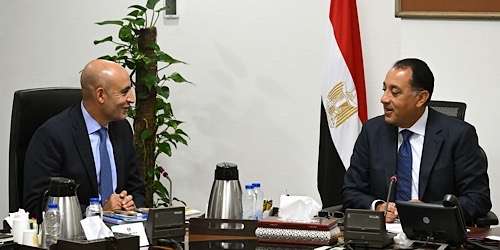
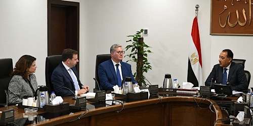
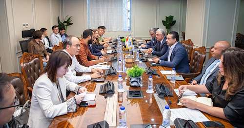
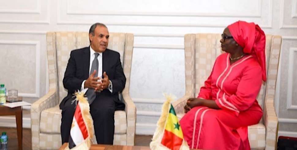
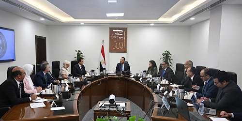
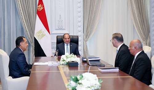
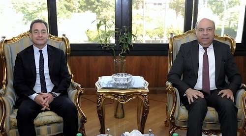
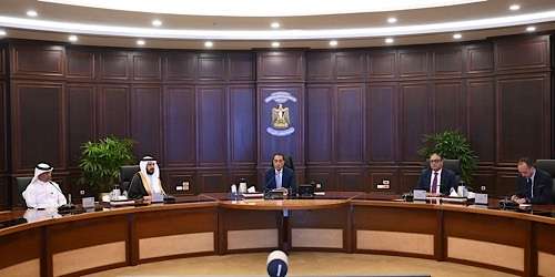
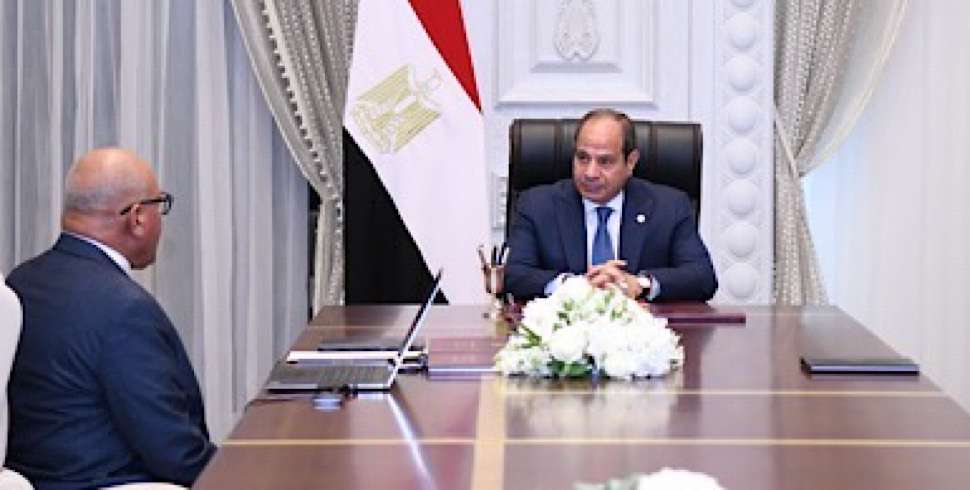
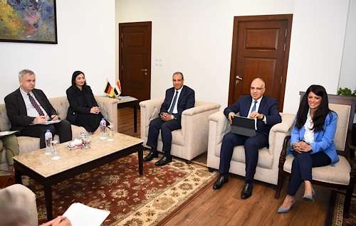
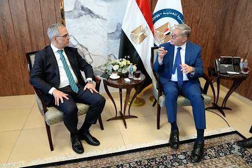
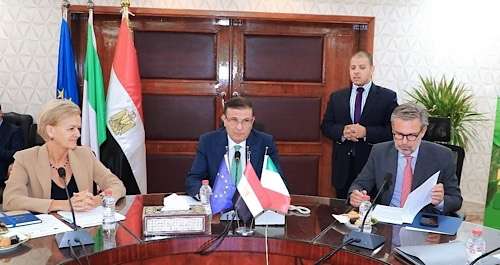
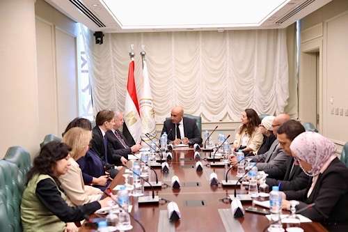
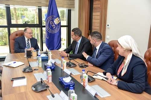
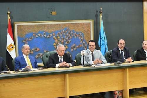
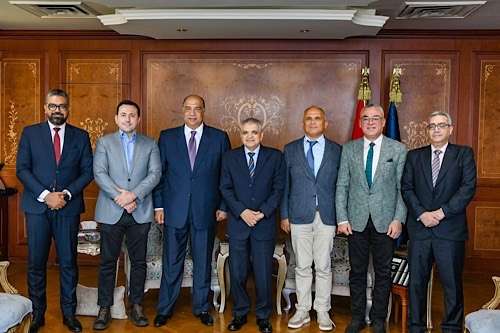
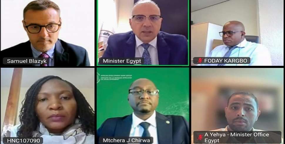
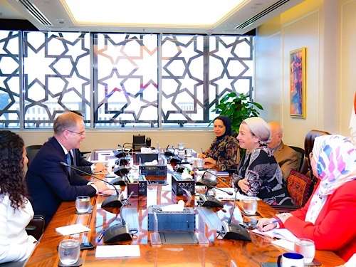
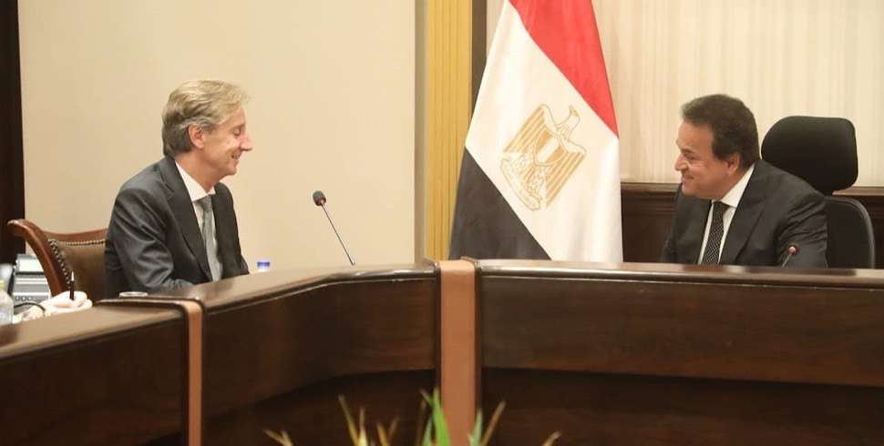
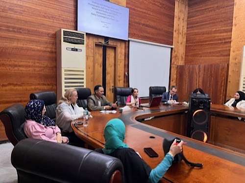
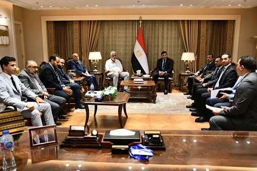
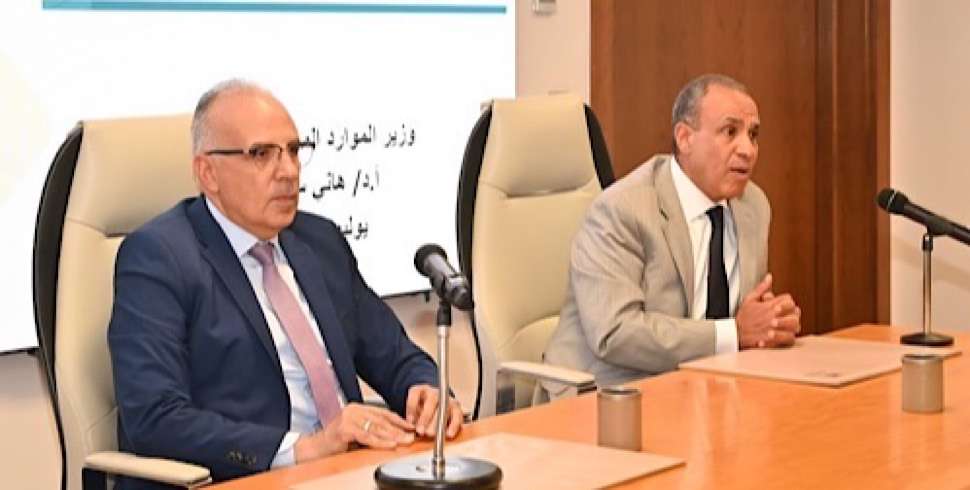
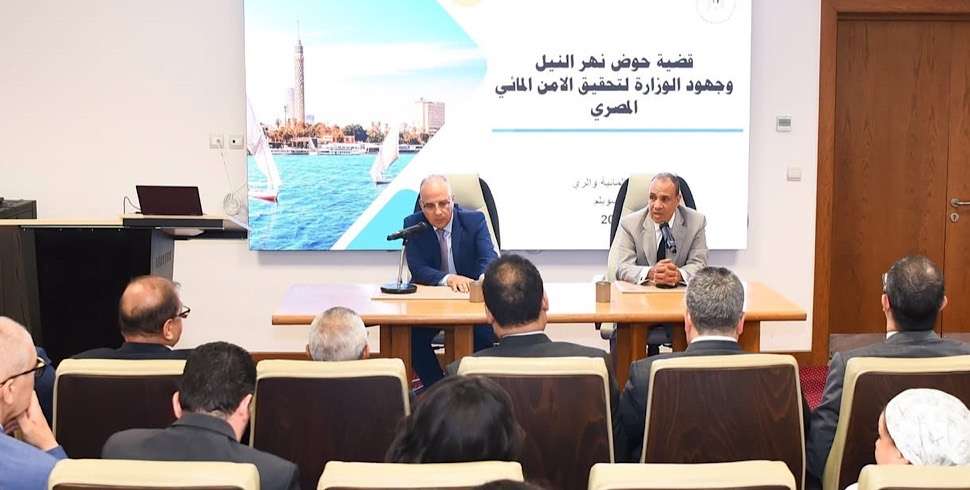
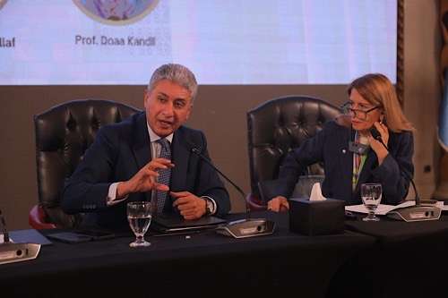
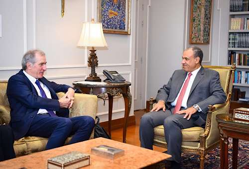
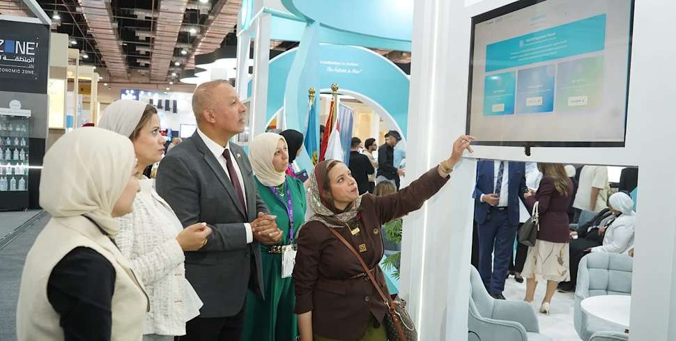
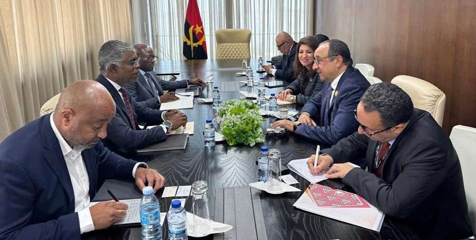
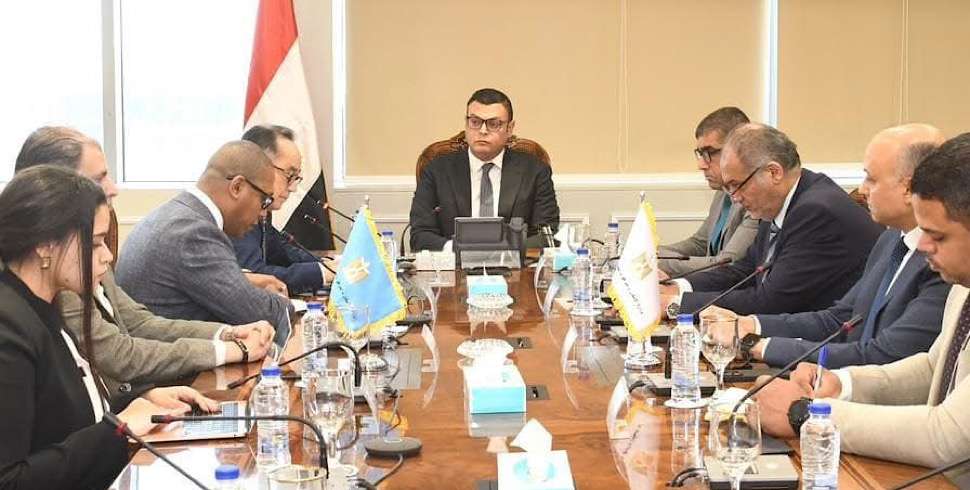
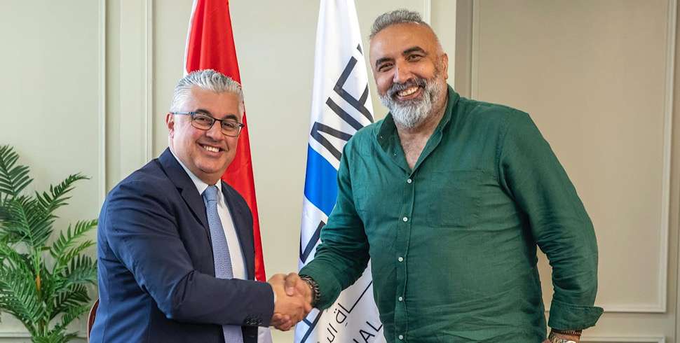
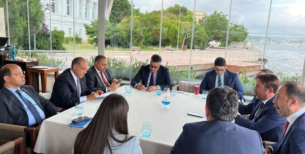
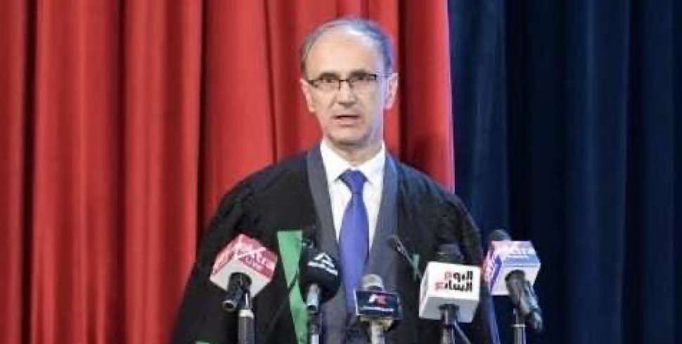
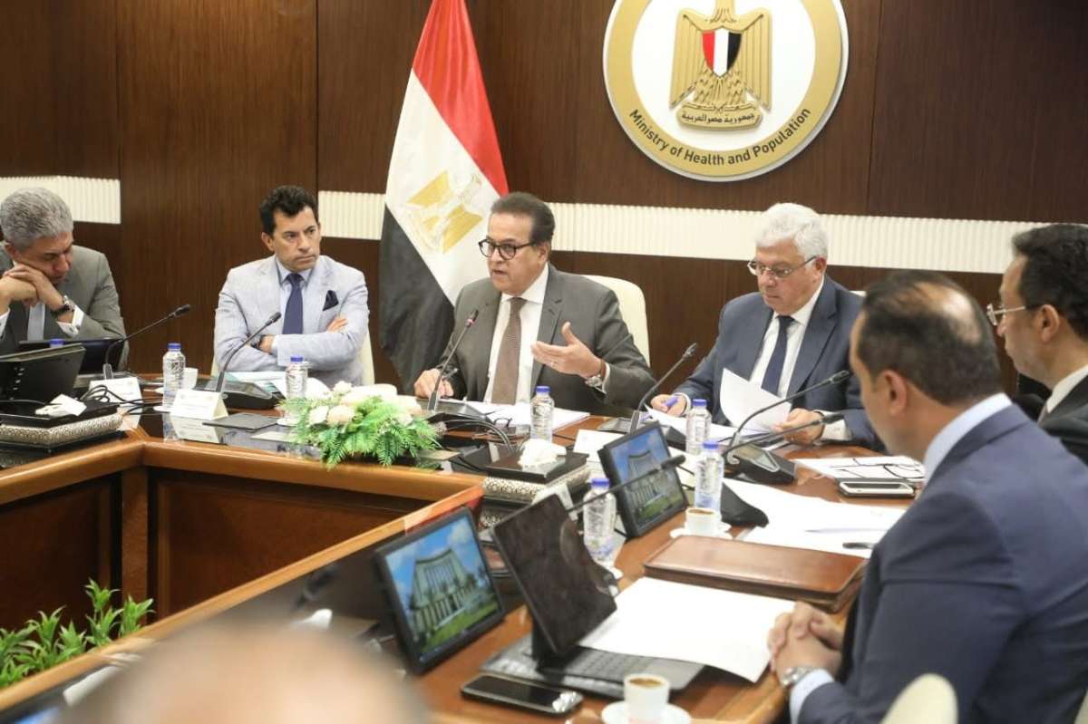
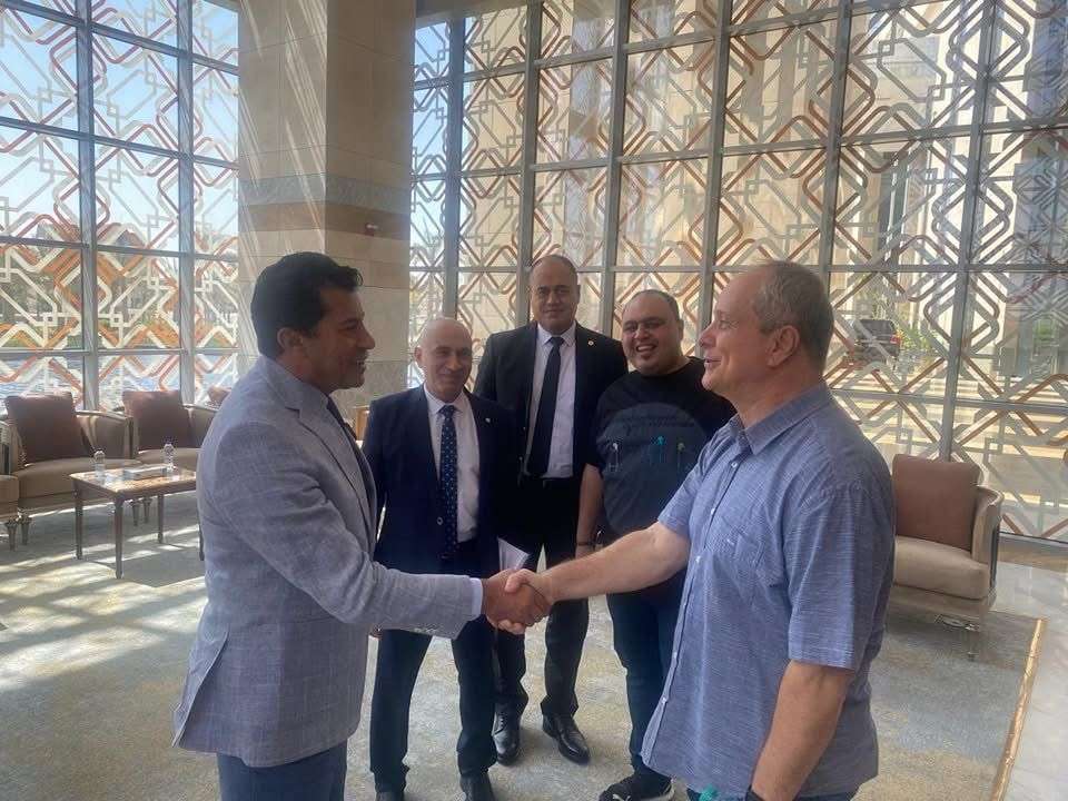
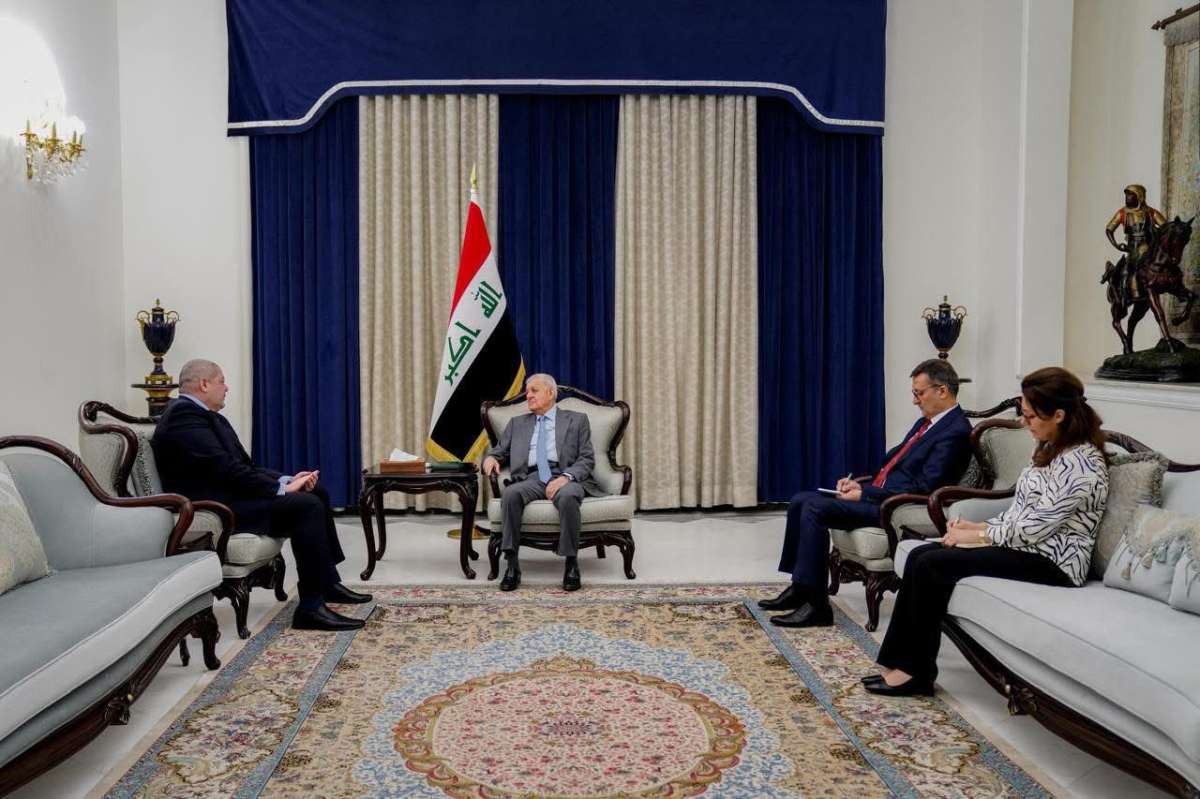
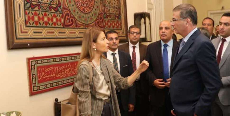
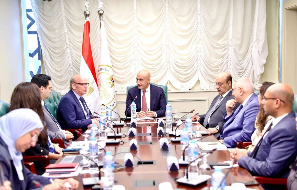
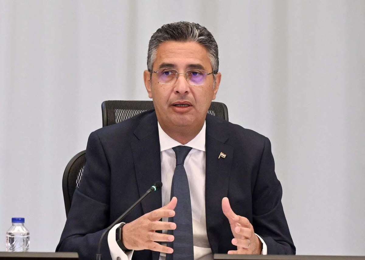
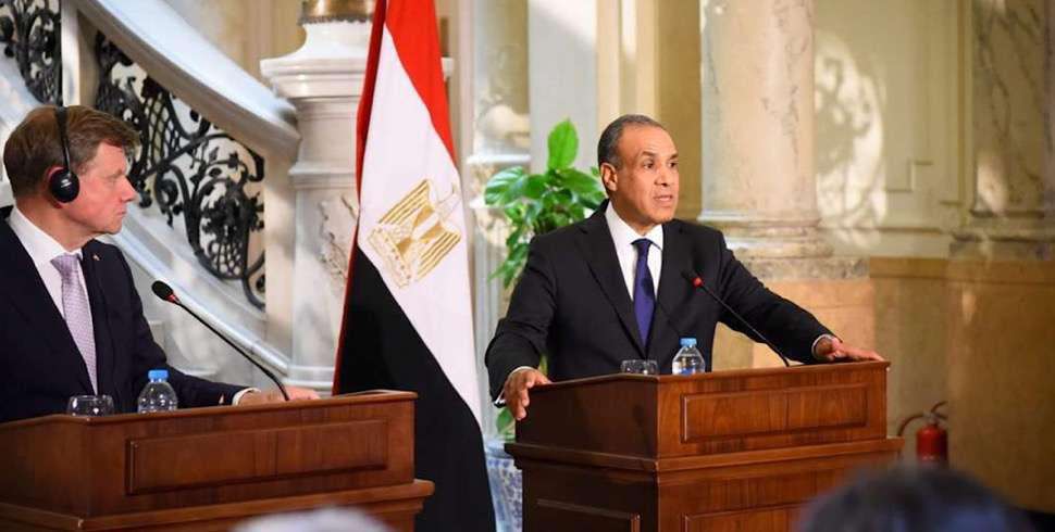
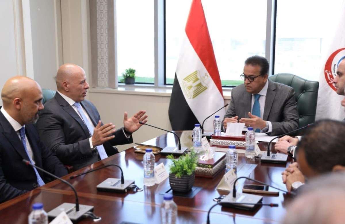
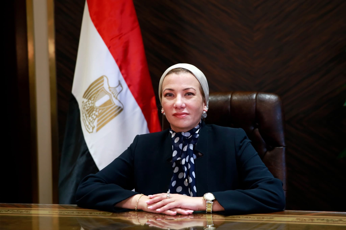
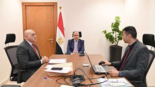
In a recent meeting, Dr. Hani Sewilam, Egypt's Minister of Water Resources and Irrigation, discussed a new system that uses satellite imagery and modern digital applications to track aquatic weeds in real-time across the nation’s rivers and canals.
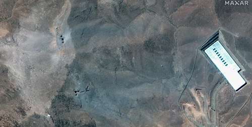
The innovative application, built on the Google Earth Engine platform, analyzes high-resolution satellite images to identify and classify aquatic vegetation—such as floating and submerged weeds—at remarkable speed and low cost. The data is displayed instantly on an interactive digital map, allowing officials to monitor the progress of waterway clearing operations throughout Egypt and to swiftly respond to emerging problems.
Dr. Sewilam emphasized that adopting cutting-edge technologies helps the ministry manage water resources more efficiently, especially in light of labor shortages. By automating monitoring efforts, the new system can also detect irregularities in reporting and improve transparency in maintenance work.
To ensure the highest accuracy, officials will calibrate the system by comparing its results with on-the-ground observations. Once fully operational, the tool will greatly enhance Egypt’s capacity to safeguard its precious water resources against invasive plants, supporting both environmental sustainability and agricultural productivity.